Geomatics
and Topography.
CONSOLIDATED EXPERTISE
Experts
in geometric control
We have more than 20 years of experience in the integral geometric control of projects.
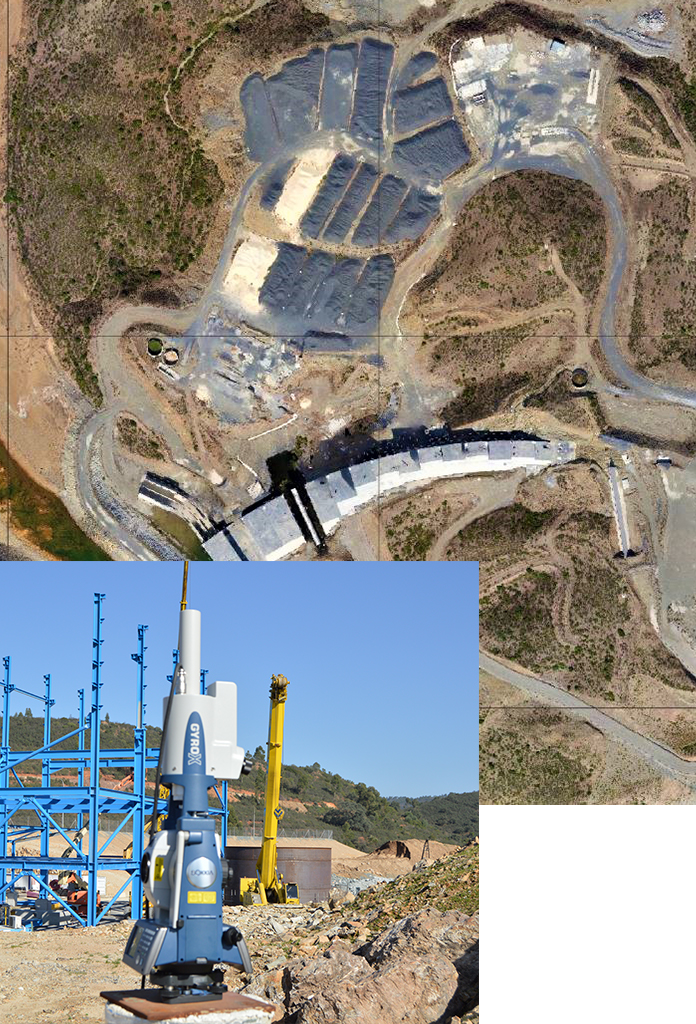
Our Geomatics and Topography engineering area has consolidated experience in the digitalisation and interpretation of the territory through the use of the latest technologies. We apply our knowledge to mining projects and underground civil works, having executed more than 300 kilometres of tunnels. We have consolidated experience in cartography, 3D topography with laser systems and geographic information systems applied to land and environmental management. We are certified in an integrated management system based on ISO 9001, ISO 14001, ISO 45001 and UNE 166002.
• Comprehensive geometric control of underground projects.
• Autonomous drone for the 3D survey of galleries.
• Three-dimensional models.
• Verification of excavation angle. Gyroscope.
• Auscultation of interior topographic networks.
• Excavation control reports.
• Basic project cartography.
• Qualitative and quantitative geometric control.
• Adaptability to work phases and work peaks.
• Auscultation of singular structures.
• Subsidence control.
• Surveys, staking out and measurements.
• Drawing of final, as-built plans.
• Measurement of inaccessible spaces with autonomous drones such as mining chambers, shafts, galleries, etc.
• Design, measurement and calculation of high-precision base networks.
• Monitoring the filling of mining waste dams using remotely piloted nautical drones.
• Monitoring of submillimetric movements by means of clinometer sensors in subsidence, convergence, slopes, buildings, etc.
• Follow-up of waste dump fills by means of photogrammetry.
• Stakeout, point cloud measurements and control of the execution of fronts.
• Control of drilling execution of production boreholes by means of magnetic and non-magnetic sensors with an automatic system.